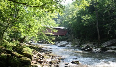
Slippery Rock Creek
Slippery Rock Creek
Project Details
| Original Construction Year | |
| Most Recent Rebuild Year | |
| Total Cost | 0.00 |
| Total Capital Cost | $0.00 |
| Latitude / Longitude Method | Unknown |
| Latitude | 41.021456 |
| Longitude | -80.039596 |
| Elevation |
| Project | Slippery Rock Creek |
| Project Type | Stream |
| Project Status | |
| AMD Source | |
| Stream | Slippery Rock Creek |
| Watershed | |
| River Basin | Ohio |
| Quad | |
| County | |
| State |
Description: This is a stream monitoring project for Slippery Rock Creek watershed. Stream monitoring data for Blacks Creek and Seaton Creek subwatersheds (tributaries to Slippery Rock Creek) are within separate stream projects.
no data available
|
Map GPS Directions |
| Contact Person: cdenholm |
| Contact Organization: Slippery Rock Watershed Coalition |
| Project Designer: |
| Project Designer Organization: |
| Project Responsible Organization: Slippery Rock Watershed Coalition |
no data available
no data available
| Project Performance |
|---|