12733
12733
Middle Shamokin Creek
/project-middle-shamokin-creek
Middle Shamokin Creek
Project Details
|
Original Construction Year
|
1996
|
|
Most Recent Rebuild Year
|
|
|
Total Cost
|
0.00 |
|
Total Capital Cost
|
$0.00
|
|
Latitude / Longitude Method
|
Google Earth/Maps
|
|
Latitude
|
40.779973
|
|
Longitude
|
-76.513803
|
|
Elevation
|
0
|
|
Project
|
Middle Shamokin Creek
|
|
Project Type
|
Stream
|
|
Project Status
|
|
|
AMD Source
|
|
|
Stream
|
Middle Shamokin Creek
|
|
Watershed
|
|
|
River Basin
|
Susquehanna
|
|
Quad
|
Shamokin
|
|
City/Township
|
Coal
|
|
County
|
Northumberland
|
|
State
|
PA
|
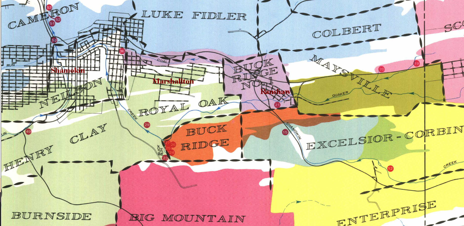
Description: Part of the Shamokin Creek watershed. Includes AMD discharge sites 6, 12-15, 22-30, 50-54, and 58.
Water Quality Data Summary
| Contact Person: |
| Contact Organization: |
| Project Designer: |
| Project Designer Organization: |
| Project Responsible Organization: |
| Title |
System |
| D1-345 |
Datashed 1.0 |